
Floods & Drought—That’s Not ALL Water Level Monitoring Is About!
Mar 27th 2024
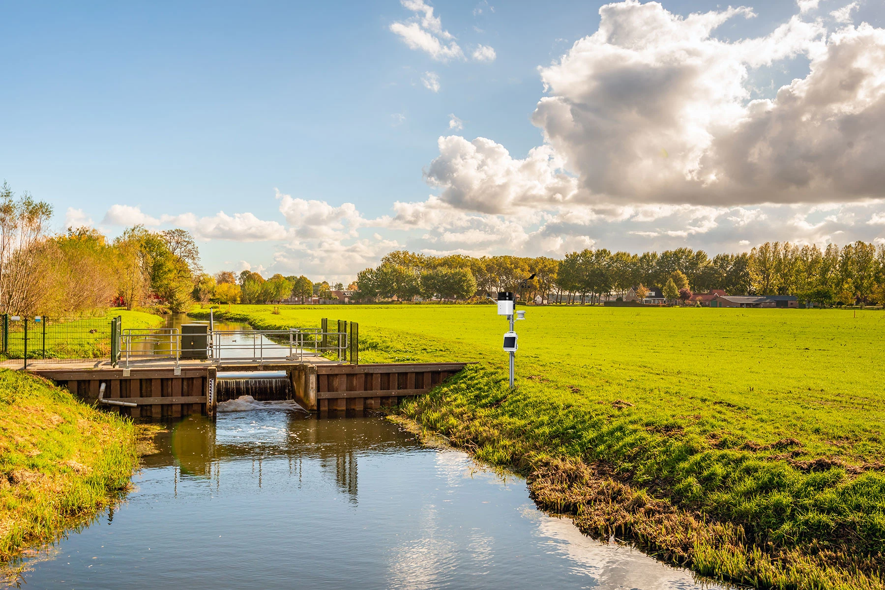
Water level data supports decisions about floods, drought, irrigation, wetlands, groundwater, dams, and other water resources. But useful measurements require more than placing a sensor in the water. You also need a defined reference point, an appropriate measurement method, and a plan for retrieving and interpreting the data.
Let's take a closer look at what water level means, why it is monitored, and the different tools available for collecting measurements over time.
Key Takeaways
- Water level is measured relative to a defined reference point; documenting that reference is essential for interpreting the data.
- Gage height, water depth, hydraulic head, and streamflow describe related but different measurements.
- Absolute pressure sensors require appropriate barometric compensation to calculate water level.
- Optical loggers, Bluetooth loggers, cellular stations, and wireless sensor networks support different data-access workflows.
What Is “Water Level” Anyway?
Water level is the height or elevation of a water surface relative to a specified reference point. The reference may be a local datum at a streamgage, the top of a well casing, land-surface elevation, mean sea level, or another documented point appropriate to the project.
That distinction matters. A measurement of water height above a submerged sensor is not automatically an elevation above sea level. Recording the reference used for each deployment allows measurements to be compared over time and, where appropriate, between locations.
What Is Water Level Monitoring?
Water level monitoring is the systematic measurement and tracking of the height or depth of water at a location over time. The terminology and methods vary depending on whether you are monitoring a river, lake, well, wetland, reservoir, canal, tank, or coastal site.
Hydrologists commonly use gage height, also called stage, to describe the height of a stream or lake surface above a defined gage datum. Stage and streamflow are related, but they are not interchangeable. Converting stage into discharge requires a site-specific relationship developed from water-level and flow measurements.
A monitoring location may use a simple staff gage or an electronic system such as a HOBO MX2001 Water Level Data Logger installed in a stilling well. The MX2001 connects a submerged pressure sensor to an above-water Bluetooth logger that also measures barometric pressure.
A few other terms you may encounter include:
-
Hydraulic Head
In groundwater monitoring, hydraulic head represents the energy available to move groundwater through an aquifer. It is commonly measured as the height to which water rises relative to a defined datum. Groundwater generally moves from areas of higher hydraulic head toward areas of lower hydraulic head.
-
Depth
Depth to water in a well is typically measured downward from a documented reference point, such as the top of the well casing. In a tank or surface-water body, water depth often describes the distance from the water surface to the bottom or to a submerged sensor. The meaning should be stated clearly with the data.
-
Tide Gage
Tide gages monitor changes in coastal water level. Some installations use a stilling well, which allows water to move in and out while reducing turbulence around the sensor and helping protect it from debris.
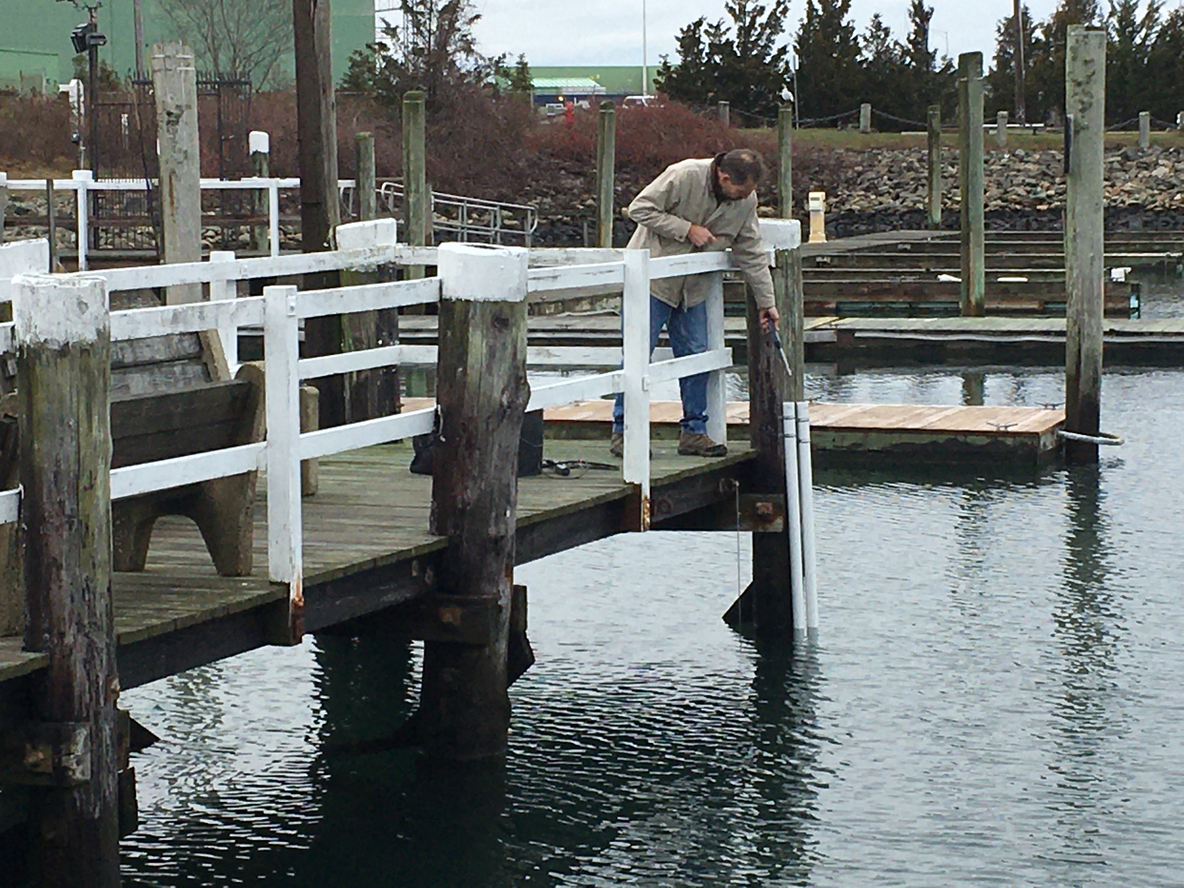
Accessing a water level logger installed in a stilling well via Bluetooth.
Why Is Water Level Monitoring Important?
Water level records help researchers, water managers, growers, engineers, conservation organizations, and public agencies understand how conditions change over time. The measurements can inform planning, document project performance, and identify events that require closer investigation.
Drought Monitoring & Agricultural Monitoring
Tracking water levels in reservoirs, rivers, lakes, canals, and storage tanks can support drought planning and water-management decisions affecting agriculture, communities, drinking-water supplies, and hydropower.
Long-term records also help researchers study how water availability changes with weather, management practices, and broader climate conditions.
Wetland Mitigation Banking
Wetland projects use water level data to evaluate whether a site provides the hydrologic conditions needed by its plant and animal communities. One conservation organization in Illinois, for example, used water level and weather measurements to investigate how rainfall moved through a 65-acre wetland area.
Green Infrastructure
Green infrastructure can help manage stormwater runoff and reduce impacts on receiving waters. Water level monitoring can document how an installation responds during and after rainfall, evaluate storage or drainage behavior, and help identify conditions that require further investigation in existing wetland and stormwater systems.
Irrigation Management
Growers monitor water levels in tanks, irrigation canals, and reservoirs as part of managing water supplies and system operation. These records can support decisions about availability, scheduling, and compliance requirements for a particular project.
Water level is only one part of effective irrigation and water management. Soil moisture, rainfall, flow, and crop requirements may also be relevant.
Groundwater Management
Monitoring groundwater levels documents changes associated with pumping, recharge, seasonal conditions, and long-term water use. These records support hydrology and groundwater-management decisions and can help identify trends that deserve further study.
Issues such as saltwater intrusion generally require water-quality data and other site information in addition to water level measurements.
Dam and Flood Monitoring
Remote water level monitoring can help dam operators and public agencies watch conditions across multiple sites and respond when configured thresholds are exceeded. The measurement system should match the site's risk, communications coverage, response procedures, and dam-management requirements.
Water level data also provides useful evidence for long-term studies. In one wetland project, researchers used Bluetooth loggers to document seasonal water-table changes during and after nearby development. Read the wetland monitoring story.
What Are the Best Tools for Monitoring Water Level?
Water level technologies range from staff gages and float systems to pressure sensors, radar instruments, and satellite observations. The appropriate tool depends on the site, required accuracy, deployment depth, water chemistry, communications needs, and how frequently the data must be reviewed.
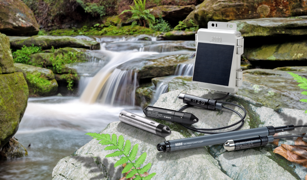
Water level monitoring options include stand-alone loggers, Bluetooth systems, cellular stations, and wireless sensor networks.
Many electronic water level systems use a pressure transducer. The transducer senses pressure, while a logger records the measurements. Those functions may be combined within one instrument, but the terms are not interchangeable.
Pressure-based systems also need an appropriate way to account for atmospheric pressure.
-
Submersible Pressure Transducers
A submersible sensor measures pressure beneath the water surface. Hydrostatic pressure can be converted to the height of the water column above the sensor using the appropriate relationship for the water and deployment conditions.
-
Differential or Vented Pressure Transducers
A vented system references the submerged measurement to atmospheric pressure through a vent tube. The vent must remain dry and unobstructed for the compensation to work correctly.
-
Absolute or Non-Vented Pressure Transducers
An absolute sensor measures pressure from both the water column and the atmosphere above it. Barometric pressure data must be subtracted to calculate compensated water level. The atmospheric measurement may come from a separate reference logger or from an above-water sensor included in the system.
The Age of Wireless Water Level Monitoring
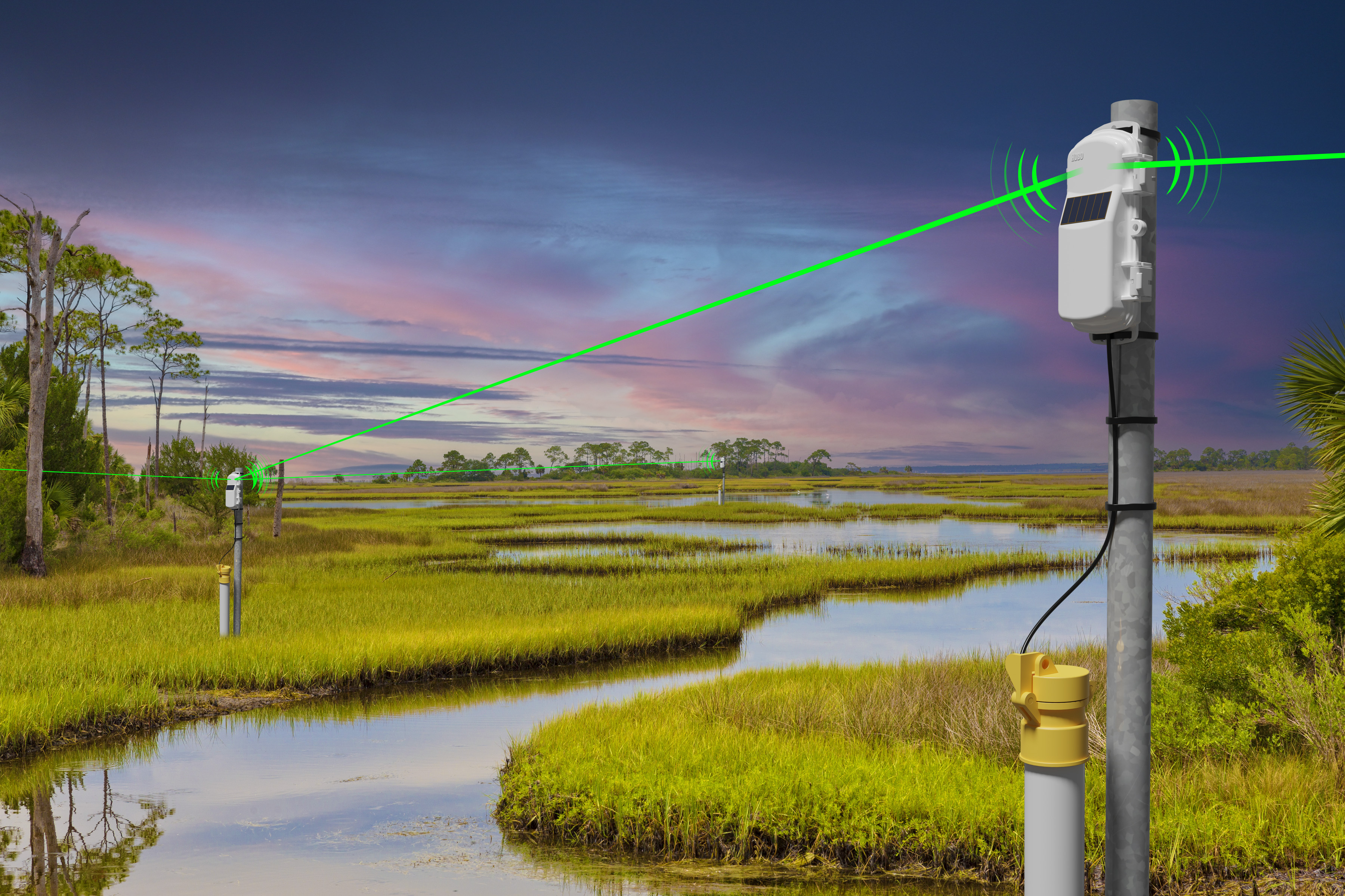
Wireless sensor networks can reduce routine site visits by delivering water level data to a connected station.
Water level systems now support several different data-access workflows. The right choice depends on site access, communications coverage, number of monitoring locations, and how quickly the measurements need to be available.
Optical Data Loggers
Optical data loggers are self-contained instruments that are deployed below the water surface and retrieved or accessed at the site for data offload.
The HOBO U20L Water Level Data Logger, for example, records absolute pressure and temperature. It uses a compatible optical base station, shuttle, or coupler for communication and requires an appropriate barometric reference to calculate water level.
Bluetooth Data Loggers
Bluetooth loggers support nearby setup and data download without requiring the logger to be connected directly to a computer.
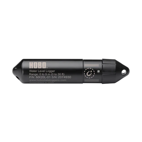
The HOBO MX20L is a self-contained, non-vented logger that records absolute pressure and temperature. HOBOconnect converts the pressure data to water level using the required barometric reference.
The HOBO MX2001 connects a submerged sensor to an above-water logger that includes a barometric pressure sensor, allowing the system to provide compensated water level measurements.
For projects that combine depth with water-quality measurements, the HOBO MX800 Series supports configurable conductivity/salinity, temperature, depth, and dissolved oxygen sensors. Available measurements depend on the selected logger and sensor configuration.
Remote Monitoring Stations
Remote monitoring stations use cellular or other connected communications to upload measurements for off-site access. Data availability, upload timing, and notifications depend on the station, communications coverage, data plan, logging interval, and configuration.
The HOBO MicroRX Water Level Station combines cellular communication, an integrated barometric sensor, and a compatible water level sensor. It can send data to LI-COR Cloud and support configured notifications for critical conditions.
For projects with multiple distributed monitoring points, the HOBOnet Remote Water Level Monitoring System uses wireless sensors and a central cellular station to collect and upload data from several locations.
See the Water Level and Flow Monitoring Station webinar for a closer look at remote monitoring, water-flow calculations, and station-side alarms.
Choosing the Right Water Level Monitoring Approach
Before selecting a system, define the measurement reference, expected water-level range, required accuracy, logging interval, environmental conditions, deployment material, power requirements, and data-access workflow.
A stand-alone logger may be appropriate when routine field visits are practical. Bluetooth can make those visits faster by simplifying setup and data offload. Cellular stations and wireless sensor networks become more valuable when measurements must be reviewed remotely or several locations need to be managed together through an appropriate LI-COR Cloud data plan.
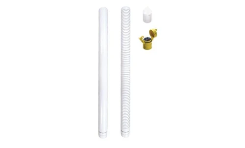
Deployment hardware matters too. A stilling well deployment kit can help protect compatible sensors and reduce turbulence, but its suitability depends on the site and selected equipment.
Water level data is most useful when the reference, equipment, installation, and interpretation are all documented. With those pieces in place, the resulting record can support better-informed decisions about irrigation, restoration, groundwater, flooding, dams, and broader water level monitoring solutions.
Explore Water Level Monitoring Solutions


Learn how and why water level monitoring plays a key role in understanding, protecting, and conserving our most precious resource - water.